 NGDC for Kenya
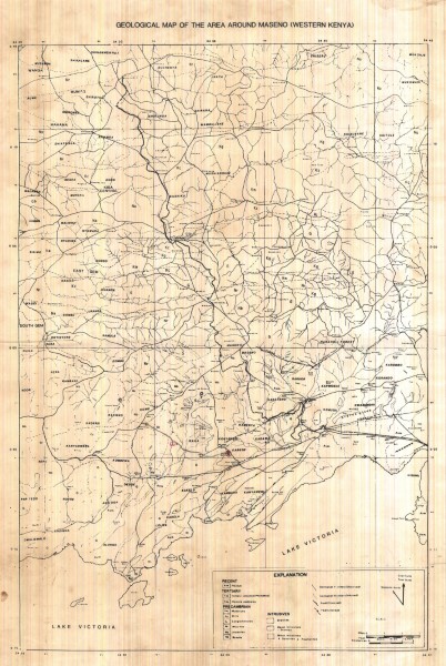
Geological Map Around Maseno Western Kenya
The Maseno document shows monochrome linework of the geology of the area.
Simple
- Date (Publication)
- Edition
-
1
- Presentation form
- Digital map
- Status
- Completed
- Maintenance and update frequency
- Not planned
- Keywords
-
-
Geology
-
- Use limitation
-
Internal Only
- Access constraints
- Other restrictions
- Other constraints
-
Internal Only
- Other constraints
- No specifed conditions apply
- Metadata language
- English
- Topic category
-
- Geoscientific information
- Description
-
Maseno Western Kenya
))
- Supplemental Information
-
{"Translation Needs":"",
"Number of pages (Hardcopy)":"",
"Archive Location (Hardcopy)":"",
"Location in Archive (Hardcopy)":"",
"Risk and Impact":"",
"Vital asset to the organisation?":"",
"Current Asset Volume":"3.7",
"Digitalizing status":"Scanned",
"Scanned Date":"",
"Name of Staff Scanning":"",
"Digital Asset location":" http://gdcs1.gdc.com/SpatialData/Raster/Geological/Regional_Maps/Geological_Map_Around_Maseno_Western_Kenya.JPG",
"Retention period":"",
"Shared with":"",
"Comments":""}
- Distribution format
-
-
.jpg
()
-
.jpg
()
- OnLine resource
-
Geological Map Around Maseno Western Kenya
The Maseno document shows monochrome linework of the geology of the area.
- Statement
-
No details of the source or origin of these maps or the purpose for which they were published is currently (2019) available.
- File identifier
- 082eb334-6e22-4307-bc01-4b77f12a0fca XML
- Metadata language
- English
- Hierarchy level
- Dataset
- Date stamp
- 2019-10-22
- Metadata standard name
-
National Geodata Centre for Kenya Schema
- Metadata standard version
-
1.0
Overviews
Spatial extent
Provided by
