 NGDC for Kenya
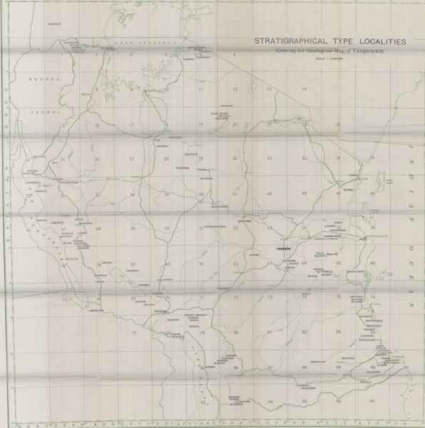
Tanzania Stratigraphic Type Locations
Tanzania Stratigraphic Type Locations
Simple
- Date (Publication)
- Edition
-
1
- Presentation form
- Digital map
- Status
- Completed
- Maintenance and update frequency
- Not planned
- Keywords
-
-
Geology
-
- Use limitation
-
Internal Only
- Access constraints
- Other restrictions
- Other constraints
-
Internal Only
- Other constraints
- No specifed conditions apply
- Denominator
- 2000000
- Metadata language
- English
- Topic category
-
- Geoscientific information
- Description
-
Tanzania
- Supplemental Information
-
{"Translation Needs":"",
"Number of pages (Hardcopy)":"",
"Archive Location (Hardcopy)":"",
"Location in Archive (Hardcopy)":"",
"Risk and Impact":"",
"Vital asset to the organisation?":"",
"Current Asset Volume":"3.1",
"Digitalizing status":"Scanned",
"Scanned Date":"",
"Name of Staff Scanning":"",
"Digital Asset location":" http://gdcs1.gdc.com/SpatialData/Raster/Geological/World_Geological_Maps/Original_Arc1960_DD/Tanzania_Stratigraphic_Type_Localities.JPG",
"Retention period":"",
"Shared with":"",
"Comments":""}
- Distribution format
-
-
.jpg
()
-
.jpg
()
- OnLine resource
- Tanzania Stratigraphic Type Locations
- Statement
-
Selection of geological map sfor other countries outside Kenya. The data is at a range of scales and from a selection of souces. Versions which are available are thought to be version 1. Later editions may be available but are not currently held at the Geodata Centre.
- File identifier
- ee42ecd6-5356-4cdd-8cb8-e026b5a068c5 XML
- Metadata language
- English
- Hierarchy level
- Dataset
- Date stamp
- 2019-10-17
- Metadata standard name
-
National Geodata Centre for Kenya Schema
- Metadata standard version
-
1.0
Overviews
Spatial extent
Provided by
