 NGDC for Kenya
planningCadastre
Type of resources
Topics
Keywords
Contact for the resource
Provided by
Formats
Update frequencies
status
Scale
-
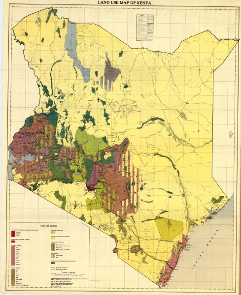
Map shows areas classified by land use type. Types include Settlements and associated non agricultural area, improved and unimproved grazing land, horticultural and market gardening, perennial cropland, arable cropland, woodland and forests water bodies and barren (agriculturally unproductive areas). Data was compiled from remote sensing data 1972-1980 by Kenya Rangeland Ecological Monitoring Unit, the Ministry of Environment and Natural Resources in 1981.
-
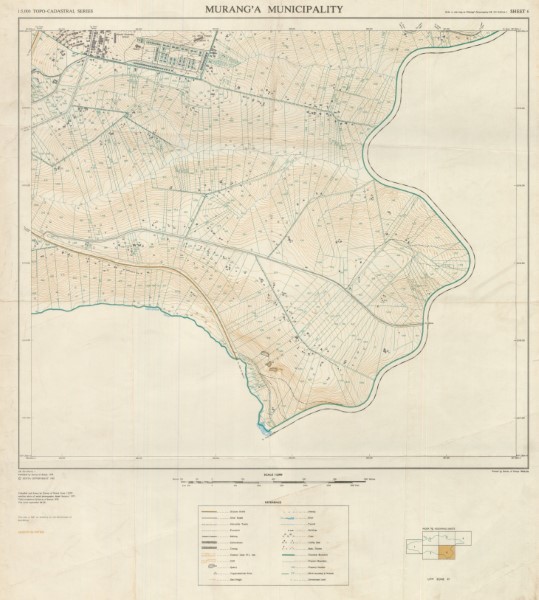
Topographic maps showing detail fom small municipal areas. whilst the 1: 5 000 included six map sheets (only sheet 6 is available in the Geodata Centre). Sheet 6
-
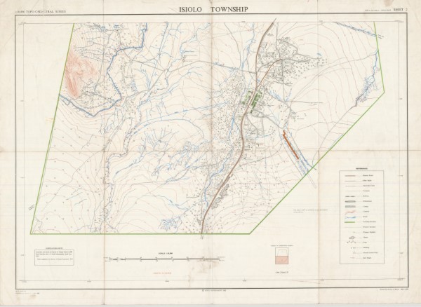
Topographic map showing detail fom small municipal areas. The 1: 10 000 series consisted of two mapped areas (sheet 2 is available within the Geodata Centre). Sheet 2