 NGDC for Kenya
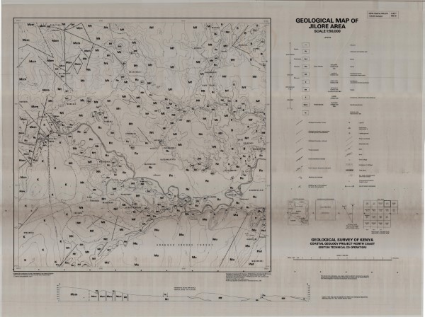
192/2 Geological Map of Jilore Area
192/2 Geological Map of Jilore Area
Simple
- Date (Publication)
- 1981
- Edition
-
1
- Presentation form
- Digital map
- Collective title
-
Kenya (Coastal Project) 1: 50 000 Geological Maps
- Status
- Completed
- Maintenance and update frequency
- Not planned
- Keywords
-
-
Geology
-
- Use limitation
-
Internal Only
- Access constraints
- Other restrictions
- Other constraints
-
Internal Only
- Other constraints
- No specifed conditions apply
- Denominator
- 50000
- Metadata language
- English
- Topic category
-
- Geoscientific information
- Description
-
Map sheet 192/2
))
- Supplemental Information
-
{"Translation Needs":"",
"Number of pages (Hardcopy)":"",
"Archive Location (Hardcopy)":"",
"Location in Archive (Hardcopy)":"",
"Risk and Impact":"",
"Vital asset to the organisation?":"",
"Current Asset Volume":"6.16",
"Digitalizing status":"Scanned",
"Scanned Date":"",
"Name of Staff Scanning":"",
"Digital Asset location":" http://gdcs1.gdc.com/SpatialData/Raster/Geological/Scale_1_50000/Kenya_Coastal_Project/192_2_Jilore_Area.jpg",
"Retention period":"",
"Shared with":"",
"Comments":""}
- Distribution format
-
-
.jpg
()
-
.jpg
()
- OnLine resource
- 192/2 Geological Map of Jilore Area
- Statement
-
No lineage information supplied
- File identifier
- 209e107b-7d76-4797-8156-6ed53ed87cad XML
- Metadata language
- English
- Parent identifier
-
Kenya (Coastal Project) 1: 50 000 Geological Maps
Kenya (Coastal Project) 1: 50 000 Geological Maps
- Hierarchy level
- Dataset
- Date stamp
- 2019-10-22
- Metadata standard name
-
National Geodata Centre for Kenya Schema
- Metadata standard version
-
1.0
Overviews
Spatial extent
Provided by
