 NGDC for Kenya
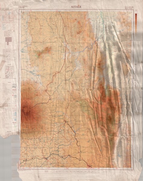
Kitale Topographic Map
Topographic map at 1: 250 000 scale which has been compiled from a series of exisiting maps. These include GSGS 4786 and GSGS 4787 (1: 50 000 scale), Mbale District, Survey of Kenya
(1: 250 000 scale) Block 63 Kalossia and Block 76 Taiti (1: 125 000 scale) GSGS 3999
(1: 250 000 scale).
Simple
- Date (Publication)
- 1959
- Edition
-
1
- Presentation form
- Digital map
- Collective title
-
GSGS4801
- Status
- Completed
- Maintenance and update frequency
- Not planned
- Keywords
-
-
Topography
-
- Use limitation
-
Internal Only
- Access constraints
- Other restrictions
- Other constraints
-
Internal Only
- Other constraints
- No specifed conditions apply
- Denominator
- 250000
- Metadata language
- English
- Topic category
-
- Imagery base maps earth cover
- Description
-
Geographic area not described
))
- Supplemental Information
-
{"Translation Needs":"",
"Number of pages (Hardcopy)":"",
"Archive Location (Hardcopy)":"",
"Location in Archive (Hardcopy)":"",
"Risk and Impact":"",
"Vital asset to the organisation?":"",
"Current Asset Volume":"9.73",
"Digitalizing status":"Scanned & Georeferenced",
"Scanned Date":"",
"Name of Staff Scanning":"",
"Digital Asset location":" http://gdcs1.gdc.com/SpatialData/Raster/Topographic/Scale_1_250000_Series_GSGS_4801/Kitale.jpg",
"Retention period":"",
"Shared with":"",
"Comments":""}
- Reference system identifier
- Transverse Mercator, Clarke 1880
- Distribution format
-
-
.jpg
()
-
.jpg
()
- OnLine resource
-
Kitale Topographic Map
Topographic map at 1: 250 000 scale which has been compiled from a series of exisiting maps. These include GSGS 4786 and GSGS 4787 (1: 50 000 scale), Mbale District, Survey of Kenya
(1: 250 000 scale) Block 63 Kalossia and Block 76 Taiti (1: 125 000 scale) GSGS 3999
(1: 250 000 scale).
- Statement
-
Identified as version 1, no published amendments or updates have been identified
Overviews
Spatial extent
Provided by
