 NGDC for Kenya
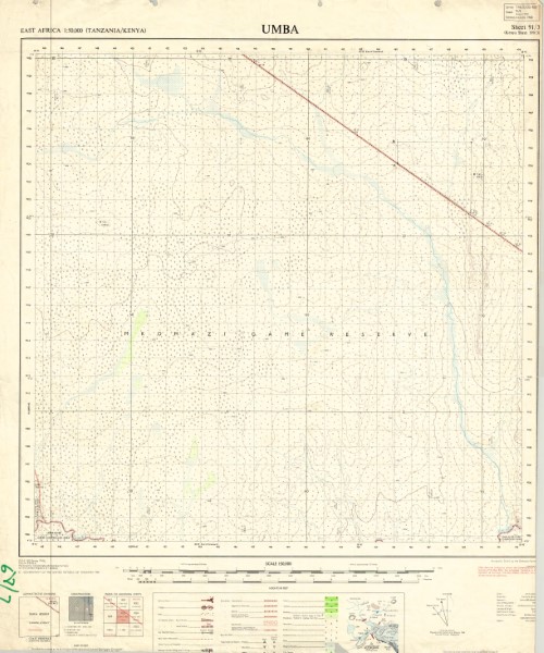
Umba (199)91 (3)3
Y742 is a series of 1: 50 000 scale topographic maps which were published between 1963 and 1991. The map series covers the border between Kenya and Tanzania with a number of the maps being published by each government. Several of the maps have been released as a series of versions. The collection held by the Geodata Centre does not include all versions of the maps produced. Publishers: D.O.S. Directorate of \overseas Surveys Tanganyika Government;
TSD/OSD Governement of the United Kingdom (Ordnance Survey) for the Government of the United Republic of Tanzania;
TSD Ministry of Lands Housing and Urban Development Tanzania; SK Survey Kenya
Simple
- Date (Publication)
- 1968
- Edition
-
3
- Presentation form
- Digital map
- Collective title
-
Y742 (1: 50 000 scale) topographic maps
- Status
- Completed
- Maintenance and update frequency
- Not planned
- Keywords
-
-
Topography
-
50k
-
- Use limitation
-
Internal Only
- Access constraints
- Other restrictions
- Other constraints
-
Internal Only
- Other constraints
- No specifed conditions apply
- Denominator
- 50000
- Metadata language
- English
- Topic category
-
- Imagery base maps earth cover
- Description
-
Umba area
))
- Supplemental Information
-
{"Translation Needs":"",
"Number of pages (Hardcopy)":"",
"Archive Location (Hardcopy)":"",
"Location in Archive (Hardcopy)":"",
"Risk and Impact":"",
"Vital asset to the organisation?":"",
"Current Asset Volume":"4.72",
"Digitalizing status":"Scanned & Georeferenced",
"Scanned Date":"",
"Name of Staff Scanning":"",
"Digital Asset location":" http://gdcs1.gdc.com/SpatialData/Raster/Topographic/Scale_1_50000_Series_742/199_3_Umba.jpg",
"Retention period":"",
"Shared with":"",
"Comments":""}
- Reference system identifier
- 4210
- Distribution format
-
-
.jpg
()
-
.jpg
()
- OnLine resource
-
Umba (199)91 (3)3
Y742 is a series of 1: 50 000 scale topographic maps which were published between 1963 and 1991. The map series covers the border between Kenya and Tanzania with a number of the maps being published by each government. Several of the maps have been released as a series of versions. The collection held by the Geodata Centre does not include all versions of the maps produced. Publishers: D.O.S. Directorate of \overseas Surveys Tanganyika Government;
TSD/OSD Governement of the United Kingdom (Ordnance Survey) for the Government of the United Republic of Tanzania;
TSD Ministry of Lands Housing and Urban Development Tanzania; SK Survey Kenya
- Statement
-
There have been multiple editions of some of the maps in this series however the versions shown are the most current versions held by the Geodata Centre.
- File identifier
- e3fb3d53-37af-4adf-9d98-a951c2aee471 XML
- Metadata language
- English
- Parent identifier
-
Y742 (1: 50 000 scale) topographic maps
Y742 (1: 50 000 scale) topographic maps
- Hierarchy level
- Dataset
- Date stamp
- 2019-10-22
- Metadata standard name
-
National Geodata Centre for Kenya Schema
- Metadata standard version
-
1.0
Overviews
Spatial extent
Provided by
