 NGDC for Kenya
denominator
125000
Type of resources
Topics
Keywords
Contact for the resource
Provided by
Formats
Update frequencies
status
Scale
From
1
-
10
/
316
-
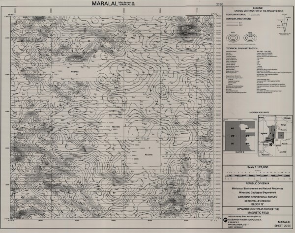
Upward Continuation of the Magnetic Field 27 SE
-
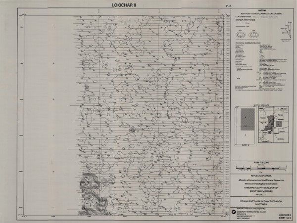
Equivalent Thorium Concentration Contours 51 2
-
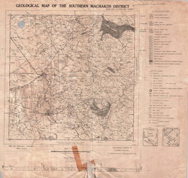
Degree Sheet: 52 SW, Sheet Number (Directorate of Overseas Survey): Not applicable, Report: Not applicable
-
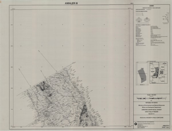
Residual Magnetic Field Contours 63 3
-
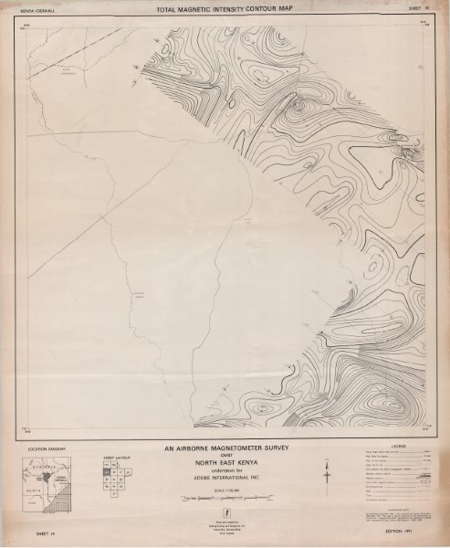
Sheet 19 Total Magnetic Intensity Contour Map
-
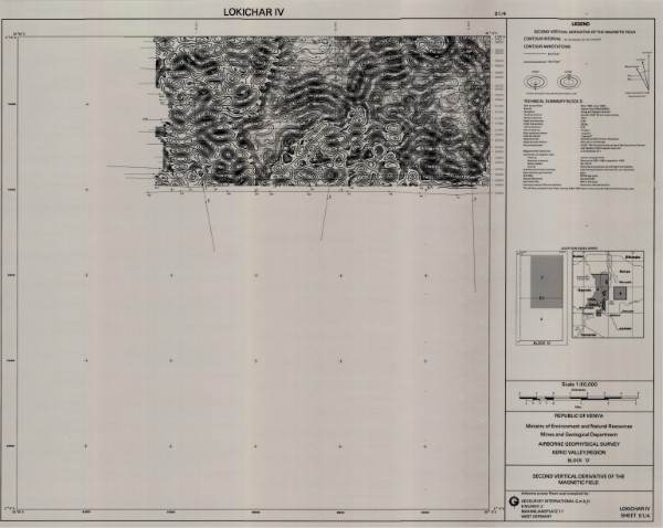
Second Vertical Derivative of the Magnetic Field 51 4
-
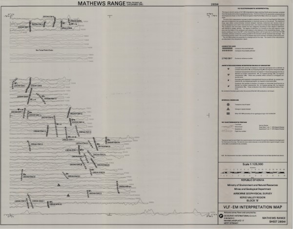
VLF EM Interpretation Map 28 SW
-
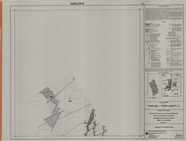
Magnetic Interpretation 63 3
-
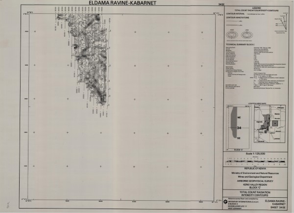
Total Count Radiation Intensity Countours 34 SE
-
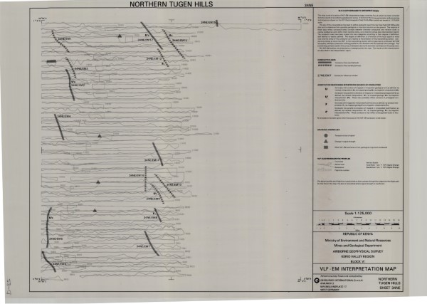
VLF EM Interpretation Map 34 NE